|
| *****SWAAG_ID***** | 925 |
| Date Entered | 04/04/2016 |
| Updated on | 04/04/2016 |
| Recorded by | Tim Laurie |
| Category | Burnt Mound |
| Record Type | Archaeology |
| Site Access | Private |
| Record Date | 03/04/2016 |
| Location | Crackpot Side. Summer Lodge. |
| Civil Parish | Grinton |
| Brit. National Grid | SD 96144 95843 |
| Altitude | 373m |
| Geology | Stream flushed pasture on glacal drift. |
| Record Name | Burnt mound on Crackpot Side north west of Summer Lodge Farm. |
| Record Description | Large burnt mound located in steeply sloping pasture on western bank of small spring stream.
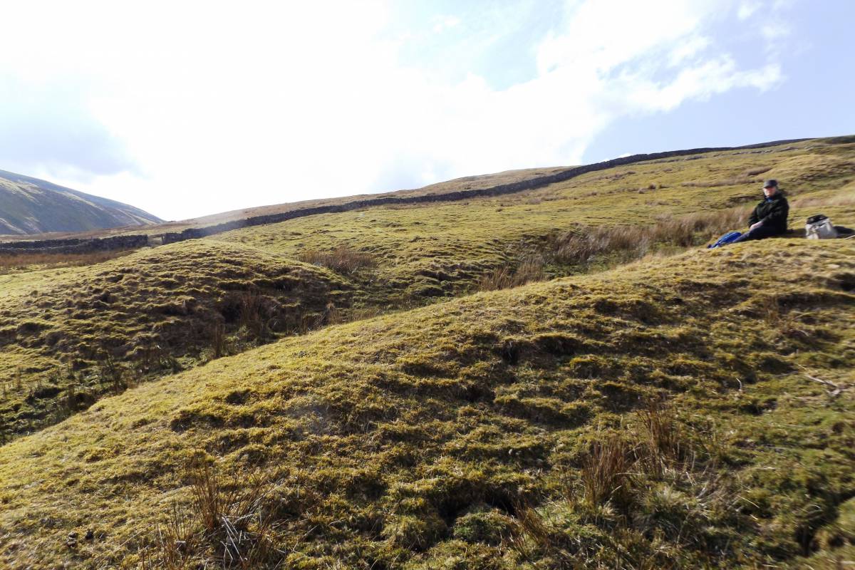
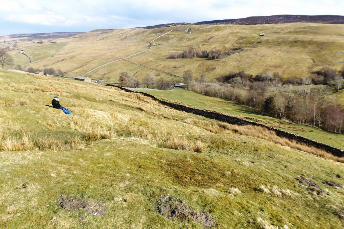
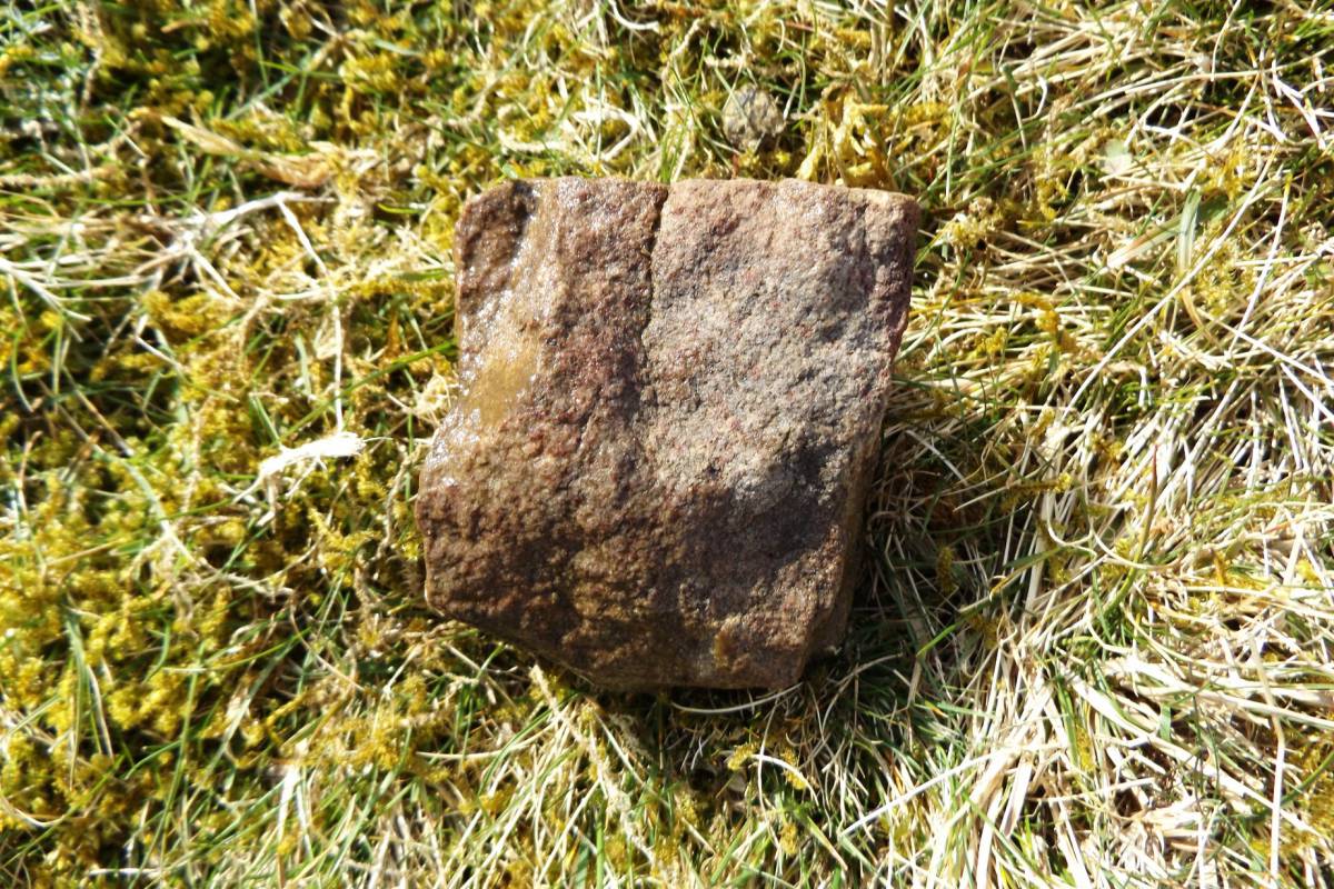
This characteristic burnt mound comprises a large,highly compacted and turf covered mound of fire-cracked and reddened sandstone fragments on the downslope side of a central trough marked by the usual rushes together with a smaller mound and two circular levelled hut platforms upslope of the trough. See photographs.
This burnt mound is the first to be recorded within Little Haverdale. Further sites may be expected to exist in this area. The burnt mounds previously recorded to be nearest to this site are at spring rises on the upper dale side above Spring End. See SWAAG Database Record Nos |
| Dimensions | 9m*6m*.1.2m high approximately |
| Additional Notes | This burnt mound is of particular interest in that burnt mounds can be regarded as providing evidence for Transhumance during Prehistory, i.e. seasonal occupation of high limestone pastures by family groups of pastoralist herdsmen with their animals during the Late Neolithic and Bronze Age. The burnt mounds being evidence for the presence of their seasonally occupied camps on the Summer Pastures located close to the most constant springs. Summer Lodge is so named as the location of just such a summer pasture occupied by Medieval and Post Medieval herdsmen moving up from their farms located lower down in the Dale. |
| Image 1 ID | 6739 Click image to enlarge |
| Image 1 Description | View westward across the burnt mound to Bloody Vale | 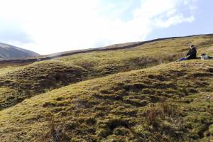 |
| Image 2 ID | 6740 Click image to enlarge |
| Image 2 Description | View southward to Summer Lodge Moor over one of two hut platforms above the Burnt Mound. | 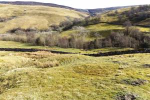 |
| Image 3 ID | 6741 Click image to enlarge |
| Image 3 Description | View South East to Summer Lodge Pasture | 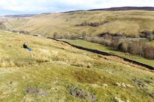 |
| Image 4 ID | 6742 Click image to enlarge |
| Image 4 Description | View North East down to Swaledale | 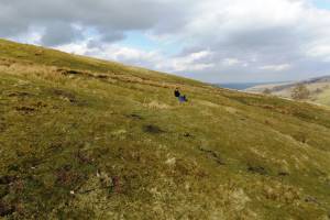 |
| Image 5 ID | 6743 Click image to enlarge |
| Image 5 Description | Detail showing spring and rushes marking location of trough | 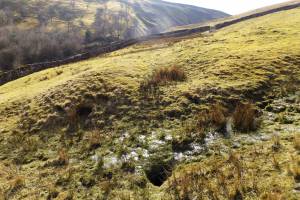 |
| Image 6 ID | 6744 Click image to enlarge |
| Image 6 Description | Fire cracked stone from this mound. | 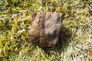 |